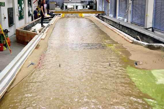
The photo shows the model of the Bregenzerach in the hall of the Institute. The model is made of sand and stones and is about 4.5 meters wide and 34 meters long. Water flows through the model.
The Bregenzerach is a 67 kilometers long river in Vorarlberg (in the West of Austria). It has its source on the eastern flank of the Mohnenfluh in the Lechquellen mountains at an altitude of about 2,400 meters above sea level and flows into Lake Constance between the towns of Bregenz and Hard.
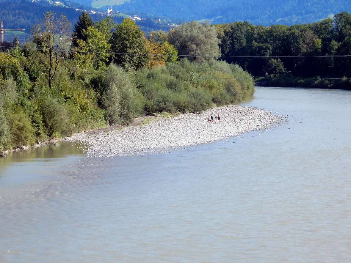
The river section considered in the hydraulic experiment is located between the municipalities of Bregenz and Hard. It begins above the Harder Bridge at river kilometer 2.2 and ends 700 meters before it flows into Lake Constance. The section is heavily populated. Settlements in the city area stretch from Bregenz to the banks. On the side of the community Hard is a protected area for drinking water supply. Two bridges cross the river and a drinking water pipe crosses below the riverbed. The gravel banks along the riverbanks are used for recreational purposes.
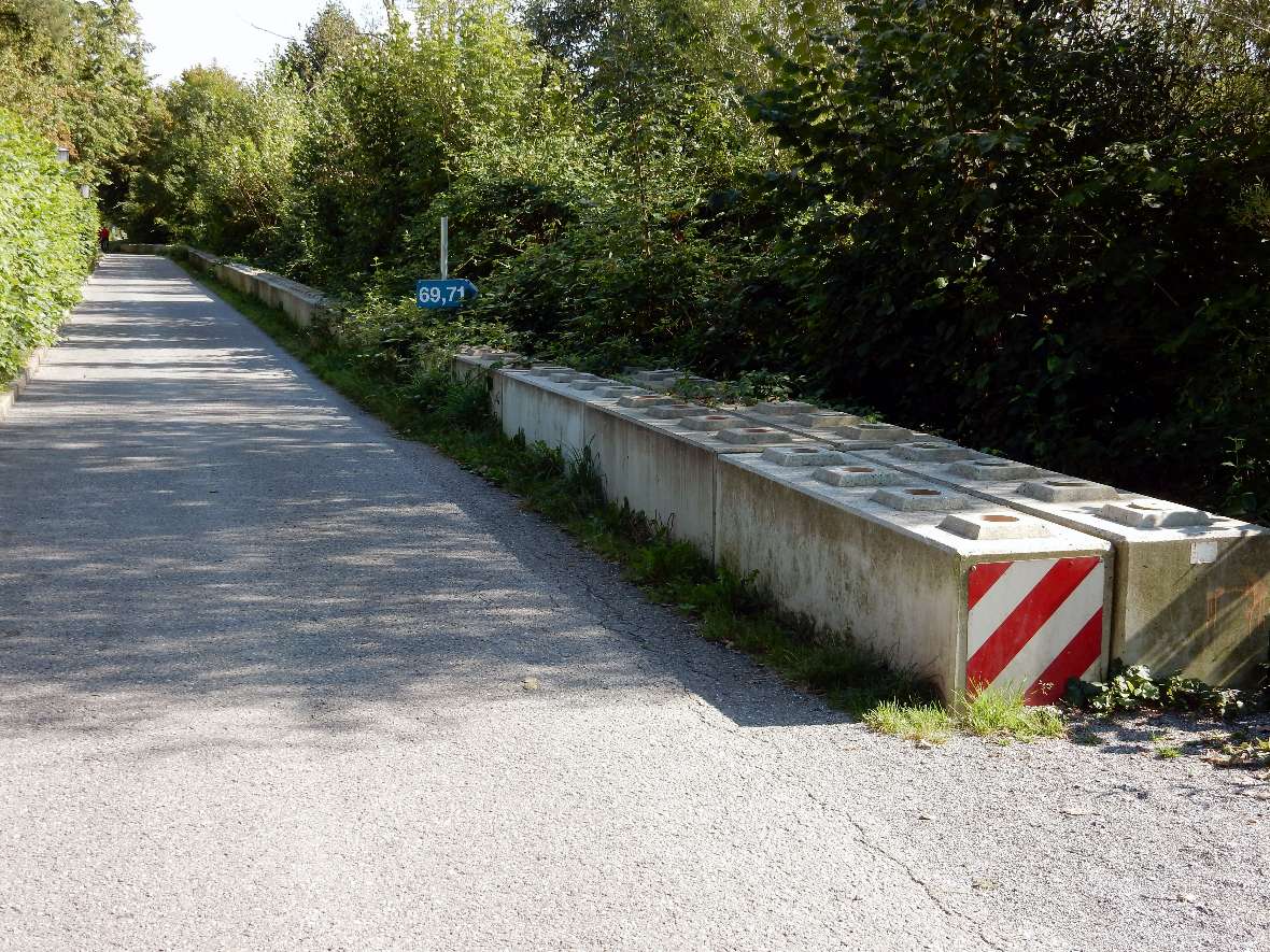
On the left and right bank, dams have been protecting the neighbouring settlement areas since 1910. During the 2005 flood, flooding was prevented by increasing the dams with sandbags. Due to obstacles to fish migration, measures to improve the ecological status are necessary in addition to flood protection measures.
-
© BAW-IWB zoom gallery -
© BAW-IWB zoom gallery
Image 1: Increasing the dams with precast concrete walls after the 2005 flood.
Image 2: The gravel banks of the Bregenzerach are often used for recreation.
The aim of the project is to improve flood protection and ecological status of the river. In order to give the river more space, it is widened and the embankments are made shallower. It is planned to carry out the new embankments on the left bank largely unpaved, which will make the river easier accessible to people. Only groynes (rows of stones across the direction of flow) should protect the banks from erosion. A continuous bank protection (longitudinal shoring) is provided on the right bank of the dam adjacent to the settlement. Both banks are said to be overgrown with plants typical of the site over time.
The following was achieved through the model test:
- Proof of the stability of the bank protection and the right bank flood protection dam up to a three hundred yearly flood. A 100 and a three hundred yearly flood event were tested in immediate succession.
- The partially overgrown gravel bank on the left bank downstream of the country road bridge including its filtering effect for drinking water supply is preserved.
- Ensuring the sustainable improvement of the ecological status of the widened waterbody through an active morphology in the event of flooding as well as through fish migration using an asymmetrical ramp on the lowered stone fill ramp.
- The optimization of bank protection (reduction the number of groynes) will enable a reduction in construction costs.
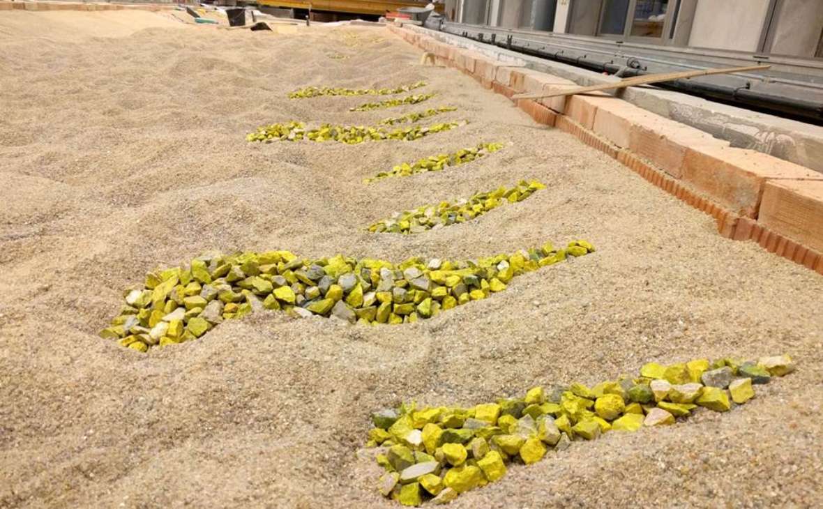
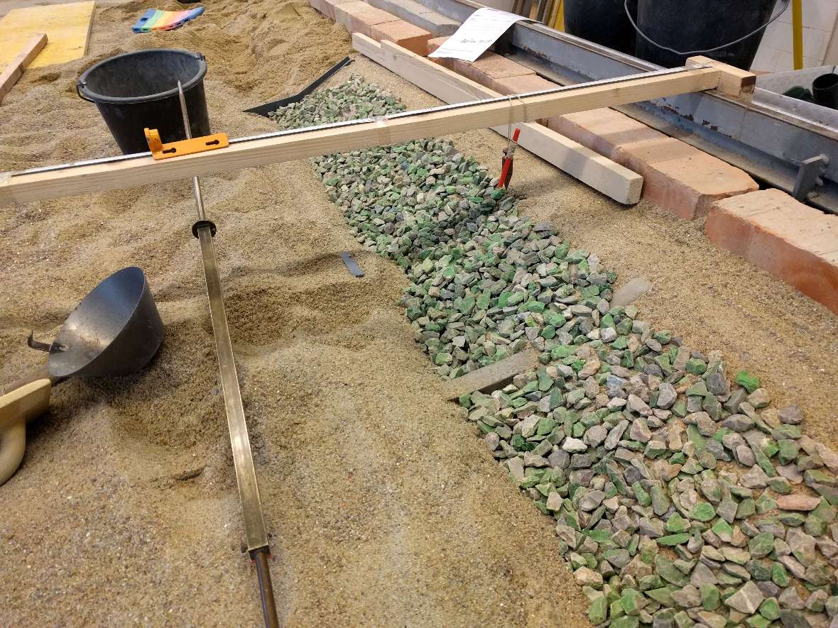
The hydraulic engineering model was built in 1 to 45 scale. The reconstructed river section, stones and bridges are 45 times smaller than in nature.
-
© BAW-IWB zoom gallery -
© BAW-IWB zoom gallery
Image 1: Model construction - groynes at a distance of 17 meters on the left bank.
Image 2: Model construction - continuous bank protection on the right bank.
-
© BAW-IWB zoom gallery -
© BAW-IWB zoom gallery
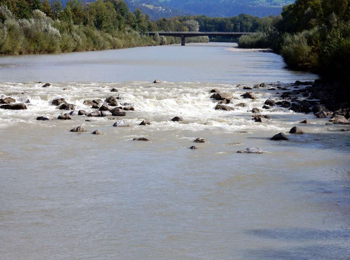
Image 1: View upstream in nature.
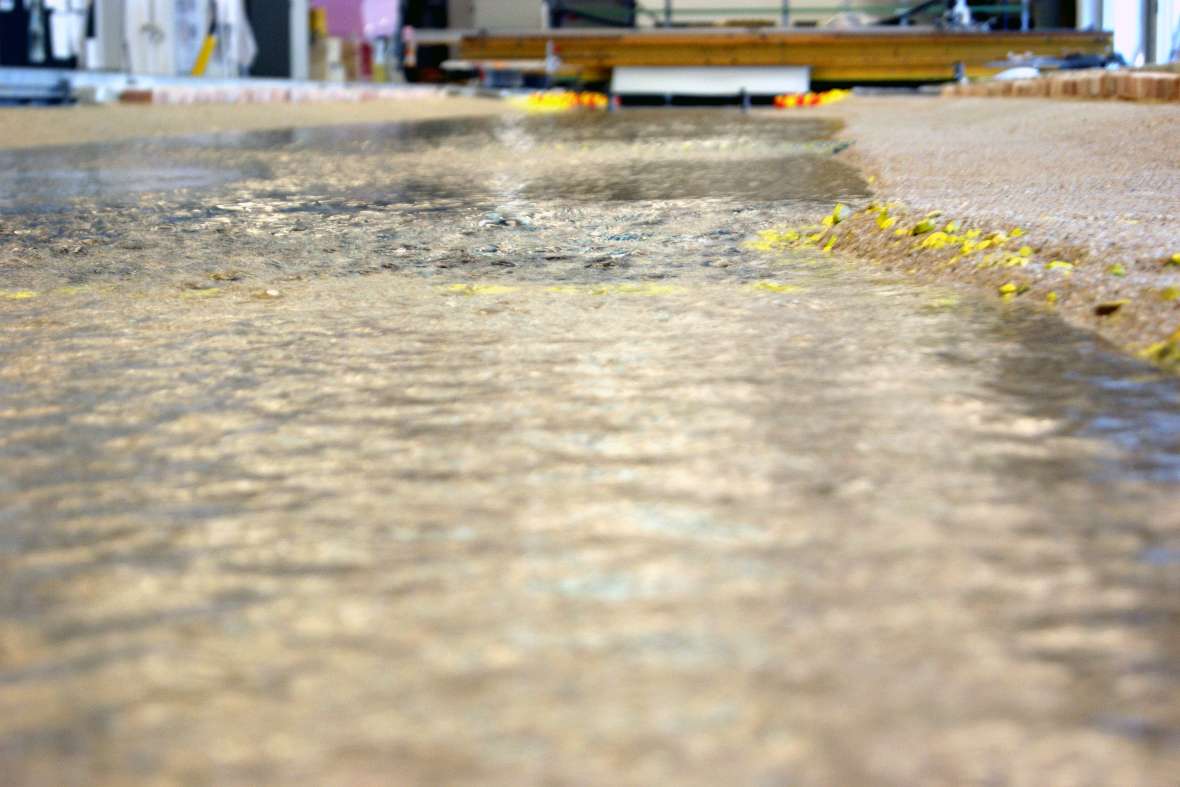
Image 2: View upstream in the model
-
© BAW-IWB zoom gallery -
© BAW-IWB zoom gallery
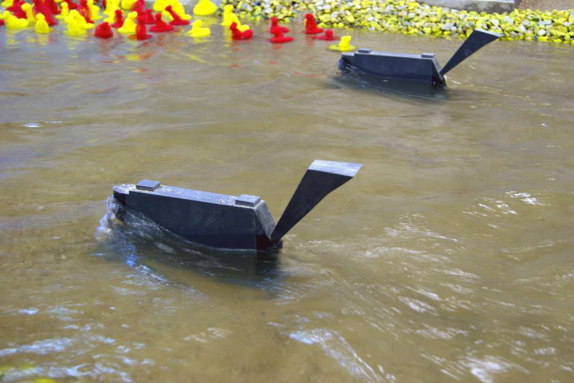
Image 1: pillar of the Harder Bridge in the model, during a 100-year flood.
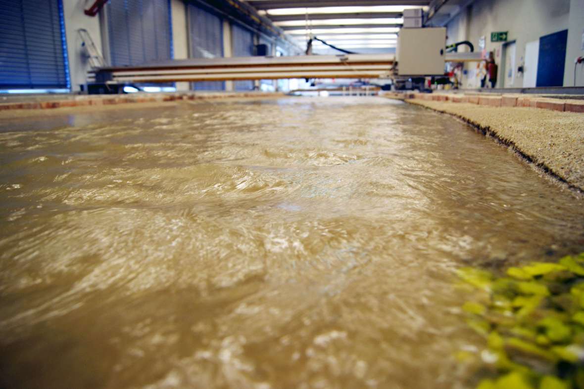
Image 2: the right bank of the river Bregenzerach in the model, during a 100-year flood
CUSTOMER: Office of the Province Government of Vorarlberg, planning Breuß Mähr, civil engineers Ltd.
On 23.11.2022, the project section completed in winter 2021/22 was visited during an excursion. Further detailed information on the entire flood protection project can be found under Downloads (only in German).
Unfortunately, the PDF file is not barrier-free because it was submitted from extern.
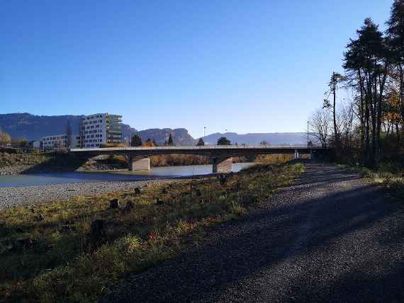
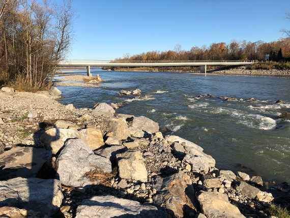
View of Harder bridge (upstream)
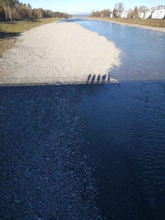
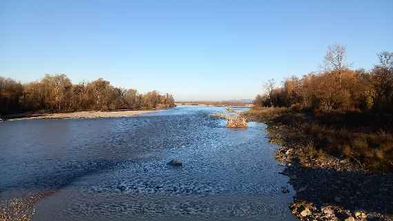
Photo from Harder bridge left side in downstream direction
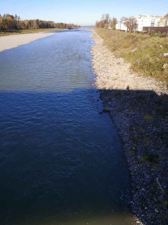
Photo from Harder bridge right side in downstream direction
Photo riverside with view of bicycle bridge and the fish ladder at the ramp in the foreground
Photo with view of the wide river

