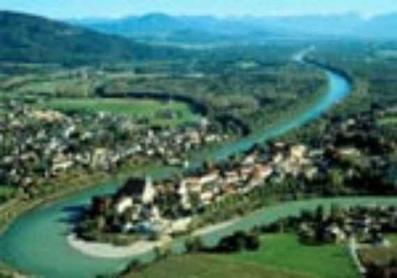
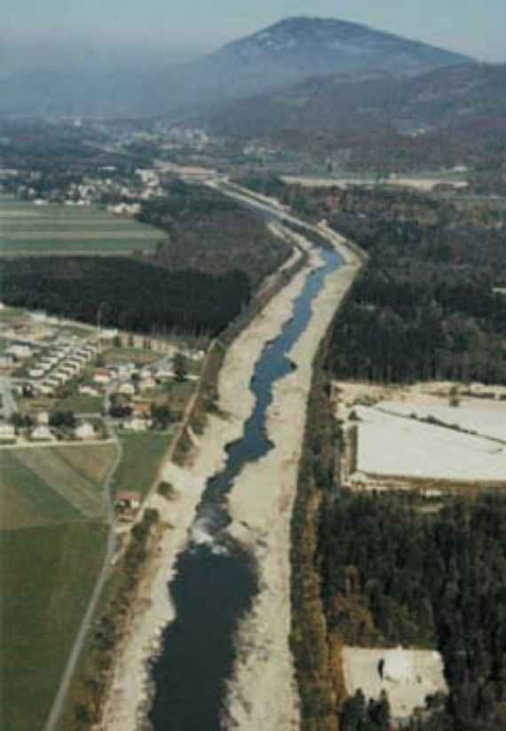
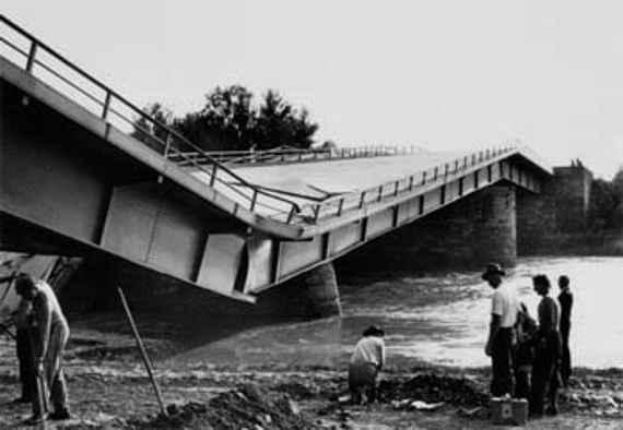
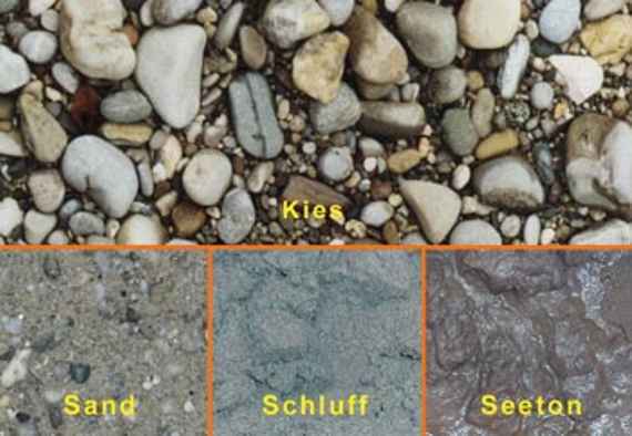
The borderline of the Salzach between the mouth of the Saalach and the Inn is deepening massively (up to 4 meters in the last 100 years). Beneath an only thin gravel bed there are more fine-grained layers, which can be easily and quickly removed by the river (see picture gravel bed with fine-grained subsoil). There is a danger of the river bed breaking through (rapid deepening of the river with considerable damage to buildings and infrastructure).
Such disasters can also endanger human lives (see pictures Effects of a riverbed breakthrough). Because of bed incision the ground water level decreases. The ecologically valuable floodplains of the NATURA 2000 area are increasingly separated from the river. In order to find solutions for the problems at hand, the Water Management Framework Study Salzach was carried out. The main objective of the planning was to at least stop the progressive deepening of the Salzach or, as far as possible, to transfer it into a controlled process of river bed uplift. This was intended to develop solutions that would reliably eliminate the existing danger of river bed break through. The planning also covered the upstream sections of the Saalach and Salzach rivers, which are also at risk from backward erosion. The ecological focus of the planning was to restore and improve the connectivity between the river and the water-associated floodplains in the two basin landscapes of Freilassing and Tittmoning. The basic requirements of the planning were the maintenance of flood protection for settlement and traffic areas as well as dynamic bed stability of the river Salzach. Of the other water management development objectives that were given priority in the planning, the aim of a secure development and sustainable management concept is particularly noteworthy.
In addition, the planning was strongly oriented towards the ecological model, the ecological key objectives and the ecological concepts as well as towards nature conservation planning specifications. Of particular importance for hydraulic engineering planning was the priority of dynamisation and process protection over protection of the existing status or the creation of new habitats outside the system. This objective of nature conservation coincides with the water management planning objective of giving preference to "dynamic bed stability" and the planning principle of self-development processes over measures done by machines.
The Institute played a decisive role in the entire planning. The focus of our work was on the following areas:
- sustainable stabilization of the river bed
- controlled dynamic waters development
- Implementation of measures adapted to the river
- Risk minimization
- Cost minimization through the use of self-development processes.
Since this was a framework study, the planning remained on a general level. The development of a project ready for execution and the necessary legal procedures are tasks for the further planning steps.
As a final result of the framework studies, three possible solutions are available: These are different combinations of the basic components widening of the water body (widening) and bed lifting with ramps.
When implementing all the proposed solutions, adapted to the morphological development of the water body, a period of several decades, must be taken into account. In such long periods, boundary conditions in the planning area can change (for example the bed load input).
Effects of a riverbed breakthrough: worn riverbed
Effects of a riverbed breakthrough: subsidence of a bridge pier
Gravel sole with fine-grained subsoil
Texts on graphics from German to English:
Kies = gravel
Sand = sand
Schluff = silt
Seeton = sea clay


