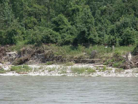
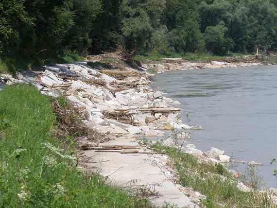
In June 2013, the Lower Salzach was hit by a flood event, larger than a centenary flood event. The maximum discharge was about 15 % higher than the statistically determined hundred-year flood. Usually Hydraulic engineering measures are designed for a one hundred year event only.
On behalf of the Border Water Commission under the Regensburg Treaty between Germany and Austria, the river morphological effects of this extreme flood were to be investigated. In concrete terms, our institute was commissioned from the Office of the Upper Austrian Provincial Government, Directorate Environment and Water Management, Surface Water Management Department, water district Braunau.
In detail we carried out the following work:
- Evaluation of the river cross sections measured after the flood and plausible interpolation of existing data gaps based on measurements from the past.
- Comparative analysis of the new data and data from the past with regard to the development of the mean bed level, Thalweg, distance to the lake clay, width development in side erosion areas, identification of sedimentation and erosion areas, bandwidth analysis related to the interpolation of data gaps, plausibility checks.
- Assessment of the effects of the flood on already implemented bed stabilisation measures (open riprap in the narrow of Laufen, bed-stabilisation ramp in the basin of Freilassing, soft banks for self-dynamic width development and covering of the temporary bed load deficit caused by the sedimentation upstream of the ramp).
Classification of the morphological analysis results into previous knowledge, rough estimate of possible developments based on trends from the data.
The engineering office SKI documented the damage that occurred during the flood and carried out supplementary representations of the river morphological development on the basis of local surveys in the flooded area.
This work is a basis for further redevelopment measures to stabilise the bed and renaturalise the Lower Salzach on the border between Germany (Bavaria) and Austria (Salzburg + Upper Austria).
Key findings from the project are:
-
- The open riprap for the protection of the towns of Laufen and Oberndorf withstood the flood without damage.
- The bed stabilising ramp also worked without any problems.
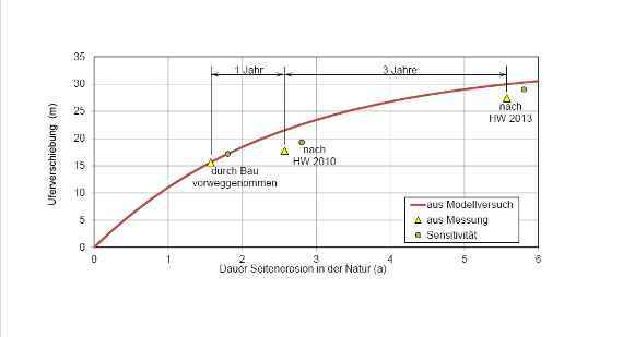
- The self-dynamic lateral erosion in the area of the soft banks is proceeding according to the forecasts from the planning, which were created using physical modelling (see diagram).


