Overview:
Project processing:
E. Schmaltz, T. Brunner, P. Strauss
Client:
Federal Ministry of Agriculture, Forestry, Regions and Water Management.
Brief Description:
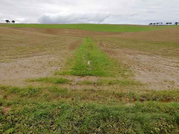
As part of the new edition of the ÖPUL program, it is planned to compensate for the effort of creating vegetated flow paths on agricultural fields. For this purpose, a field-based designation is necessary in order to identify areas where vegetated flow paths are highly effective. In the project "Greened Flow Paths Austria", the PhosFate model will be used to model both potential flow paths and sediment input paths to water bodies and then aggregate information on the probability of occurrence at the plot of land level. The resulting digital layer will be used to better evaluate farmland in terms of the usefulness of vegetated flow paths or riparian zones.
The project will generate a map or a digital layer with probabilities for greened flow paths per field for all arable land in Austria. In addition to the final report, a manual for farmers for the accurate creation of greened flow paths and green or watercourse margins will be produced.
The abbreviation "ÖPUL" stands in German for "Österreichisches Programm für umweltgerechte Landwirtschaft", translated in English for: "Austrian Program for Environmentally Sound Agriculture".

